|
Chang Guang Satellite Technology Co., Ltd.
|
SATELLITE IMAGE PROCESSING TECHNIQUES
| Price: | 10.0 USD |
| Place of Origin: | Jilin, China (Mainland) |
|
|
|
| Add to My Favorites | |
| HiSupplier Escrow |
Product Detail
As one of commercial satellite manufacturers, we can offer kinds of related products for sale, anything you need, please contact us.
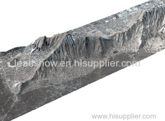
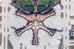
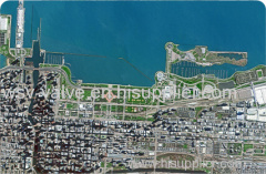
SATELLITE IMAGE PROCESSING TECHNIQUES
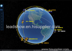
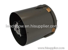
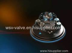
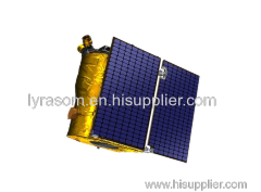
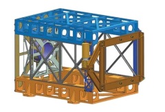
SATELLITE IMAGE ACQUISITION SYSTEM
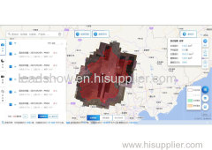
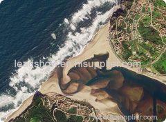
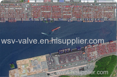
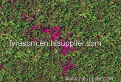
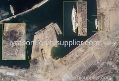
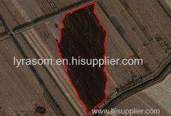
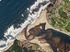
SATELLITE IMAGES FOR IMAGE PROCESSING FEATURES
1
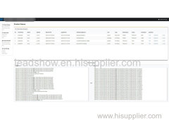
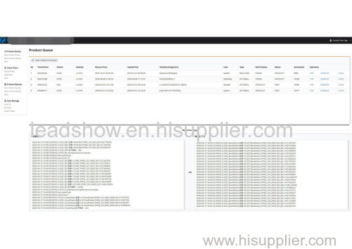
Satellite image processing system is the core of preprocessing of satellite images after landing.
2
The system decrypts and decompresses the received original code stream data, completes the analysis and processing of auxiliary data, and then catalogues the data.
If you want to know more details of image processing of satellite images, please visit our website.
CGSTL (Changguang Satellite Technology Co., Ltd) is the first commercial remote sensing satellite supplier in China. Now, CGSTL has set up a commercial business dealing with the development and operation of commercial satellites as well as remote sensing information processing all in one.
Related Search
Find more related products in following catalogs on Hisupplier.com
Company Info
Chang Guang Satellite Technology Co., Ltd. [China (Mainland)]
Business Type:Manufacturer
City: Changchun
Province/State: Jilin
Country/Region: China (Mainland)