|
Chang Guang Satellite Technology Co., Ltd.
|
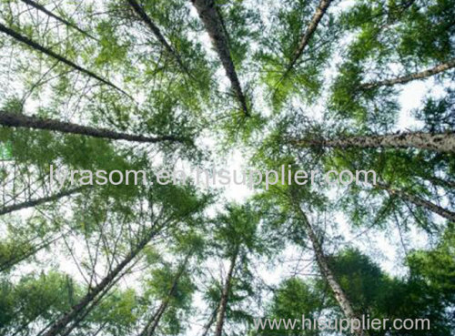
REMOTE SENSING IN FORESTRY
| Place of Origin: | Jilin, China (Mainland) |
|
|
|
| Add to My Favorites | |
| HiSupplier Escrow |
Product Detail
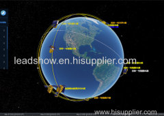
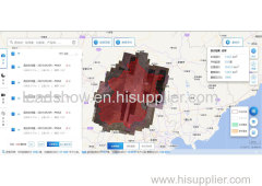
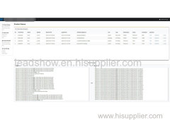
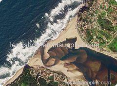
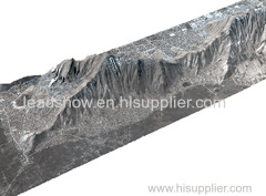
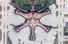
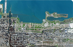
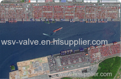
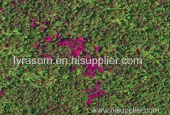
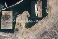
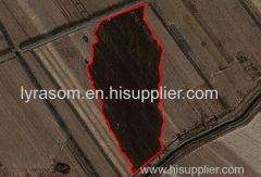
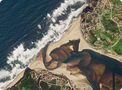
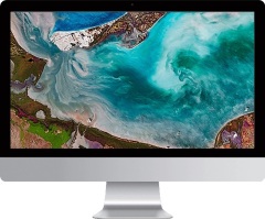
satellite remote sensing data
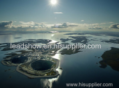
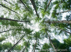
Applications of remote sensing in forestry
Remote sensing in forestry is a technology that uses the inherent characteristics of electromagnetic waves reflected or radiated by objects to identify objects and their environments by studying the characteristics of electromagnetic waves. It is called forestry remote sensing to monitor the growth of forest trees and forecast forest pests and diseases.
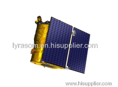
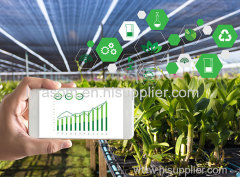
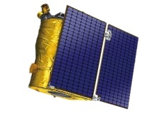
Jilin satellite, as an excellent satellite services company, offers a wide range of satellite for you to choose from.
Related Search
Find more related products in following catalogs on Hisupplier.com
Company Info
Chang Guang Satellite Technology Co., Ltd. [China (Mainland)]
Business Type:Manufacturer
City: Changchun
Province/State: Jilin
Country/Region: China (Mainland)