|
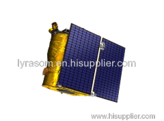
Chang Guang Satellite Technology Co., Ltd.
|

SATELLITE REMOTE SENSING IN AGRICULTURE
| Place of Origin: | Jilin, China (Mainland) |
|
|
|
| Add to My Favorites | |
| HiSupplier Escrow |
Product Detail
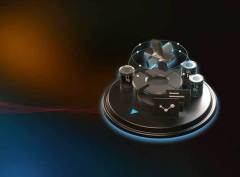
satcom products
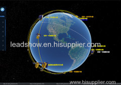
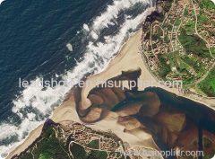
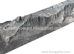
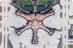
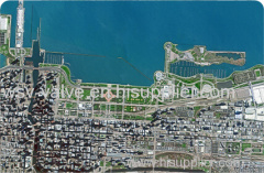
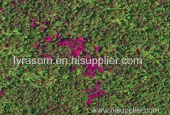
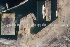
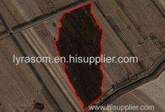
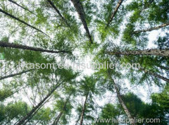
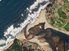
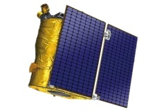
Satellite remote sensing in agriculture refers to the comprehensive technology of agricultural applications such as using agriculture satellite technology to investigate agricultural resources, analyzing land using status, monitoring agricultural pests and diseases, as well as estimating crop yields.
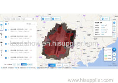
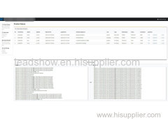
CONTENT OF AGRICULTURAL REMOTE SENSING SERVICE PRODUCT SYSTEM OF CGSTL
No. | Product name | Service frequency |
1 | Distribution of cultivated land resources and agricultural facilities | Once a year |
2 | Crop planting structure monitoring | Once/crop season |
3 | Crop growth monitoring | Once/ten days |
4 | Farmland soil moisture and crop drought monitoring | Once/ten days |
5 | Agricultural disaster monitoring | On demand |
6 | Crop yield prediction | Once/crop season |
Chang Guang Satellite Technology Co., Ltd. is a satellite supplier, we provide agriculture satellite imagery, satellite imaging in agriculture, agriculture land images, agriculture satellite images, agriculture images, satellite imagery in agriculture, satellite in agriculture, agriculture satellite data, satellite communication service, etc. For more information, please feel free to contact us!
Related Search
Find more related products in following catalogs on Hisupplier.com
Company Info
Chang Guang Satellite Technology Co., Ltd. [China (Mainland)]
Business Type:Manufacturer
City: Changchun
Province/State: Jilin
Country/Region: China (Mainland)